S I B E R I A M A P P I N G
Maps and bibliographical description
|
1 sh. (two sheets glued together) 53x93 (59x101). Engrav.
Colour.
In catologue |
|
S I B E R I A M A P P I N GMaps and bibliographical description
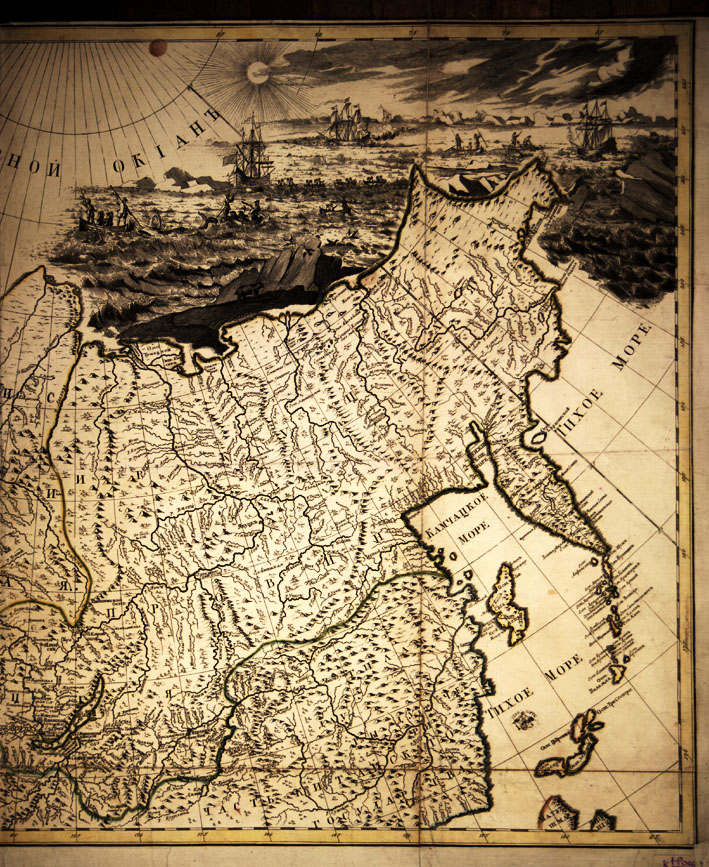
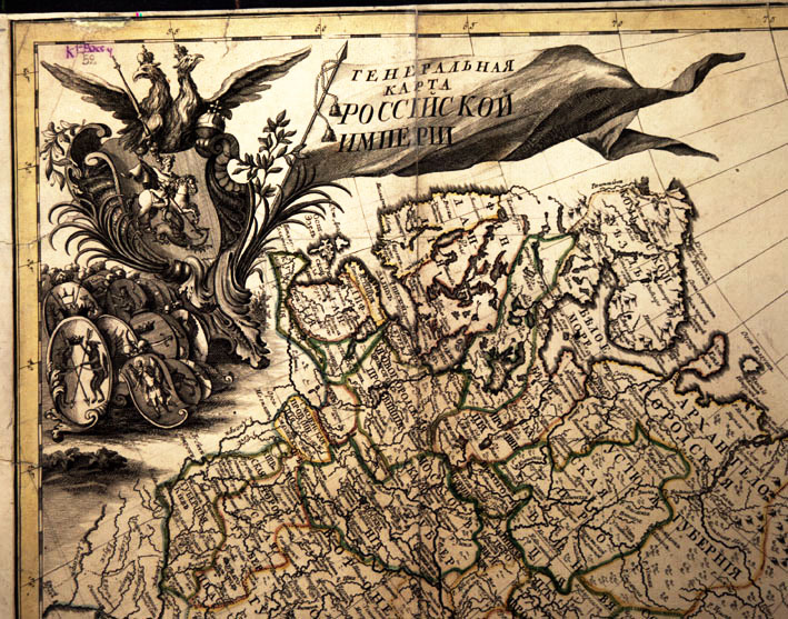
General map of Russian Empire Ö presenting with possible correctness in a real outlook all the territory of Russian Empire with its provinces. It was begun by the wise intention of Peter the Great Ö completed at the time of Empress Elizaveta Petrovna Ö published to nationwide utilization Ö 1745. [St.Petersburg, Acad.Sci.], 1745. 1 sh. (two sheets glued together) 53x93 (59x101). Engrav. Colour.
Map of Russia from the atlas: "Atlas of Russia consisting of 19 special maps presenting All-Russian Empire with borderlands compiled according to geographical rules and new observations Ö" (St.Petersburg: Acad.Sci., 1745). This atlas is made up and pub-lished by the St.Petersburg Academy of Sciences. The maps are based on the instrumental survey organized over the whole Russia using the materials of the Second expedition of Bering to Kamchatka and the Great North Expedition. The table of conventional signs is used for the first time. This Atlas was the result of twelve-year work of the Academy of Sciences and has been published in Russian, Latin, German, and French. It was made at the high level of possibilities of that time and its publication had the great scientific and political significance for Russia.
In catologue